Chapter 4 of 5

Searching the ice

Radio searches and orbital imaging of the polar landing zone

Told in Mars Polar Lander’s imagined voice · the events are real · source
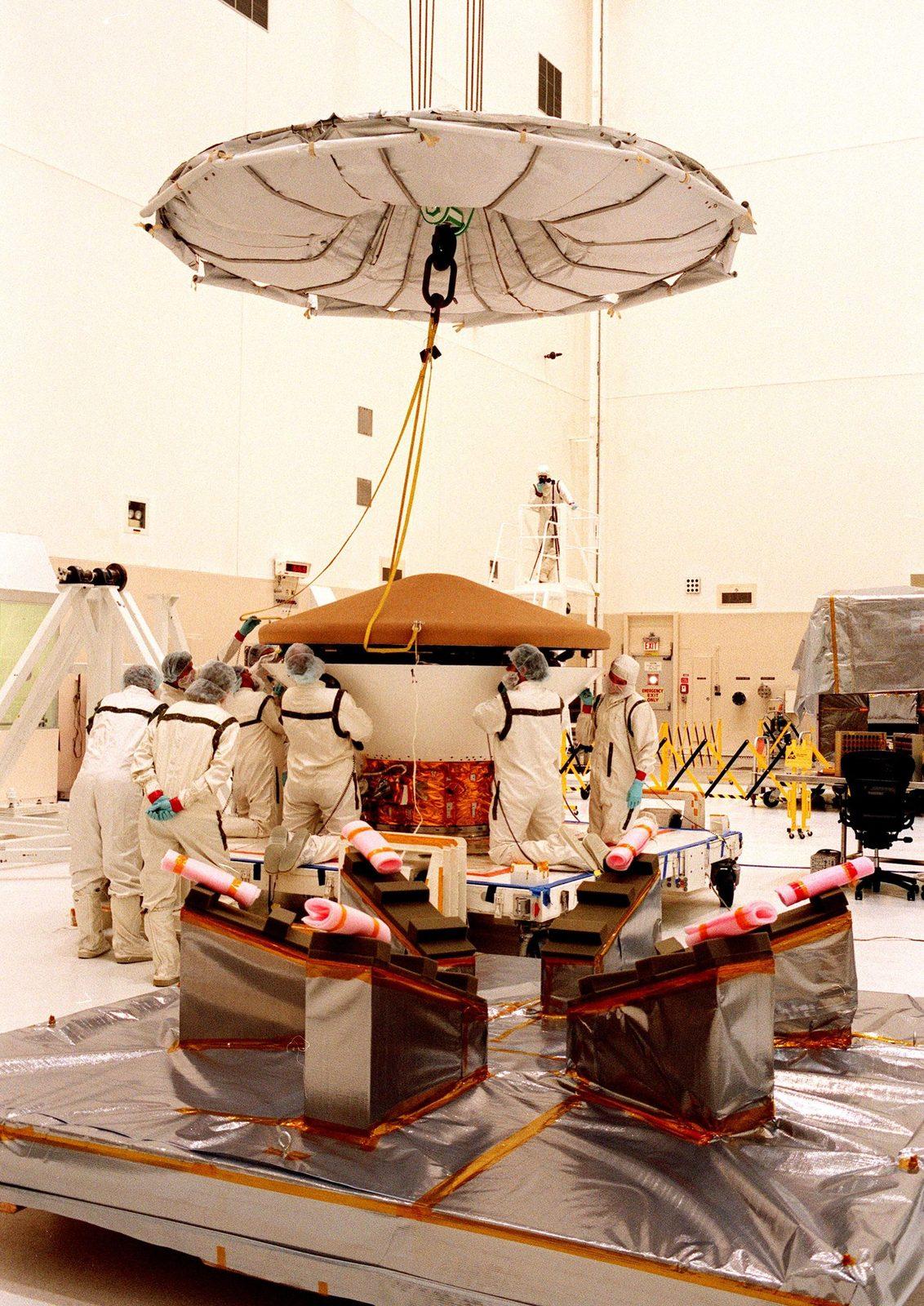
KENNEDY SPACE CENTER, FLA.
Mars Polar LanderSilence was the first data point.
NASA/KSC
01The first post-landing signal was due about 24 minutes after touchdown, but it never arrived. For weeks, NASA listened with Earth dishes and orbiting spacecraft. Silence could mean many things: a failed entry, a crash, a wrong antenna direction, or a safe-mode lander waiting for a command.
Orbiters started looking, not just listening.
02Mars Global Surveyor imaged the polar landing zone in December 1999 and January 2000. At the available resolution, a roughly 3.6-metre lander on rough, frost-covered terrain could be only a pixel or two — easy to miss among shadows and seasonal frost.
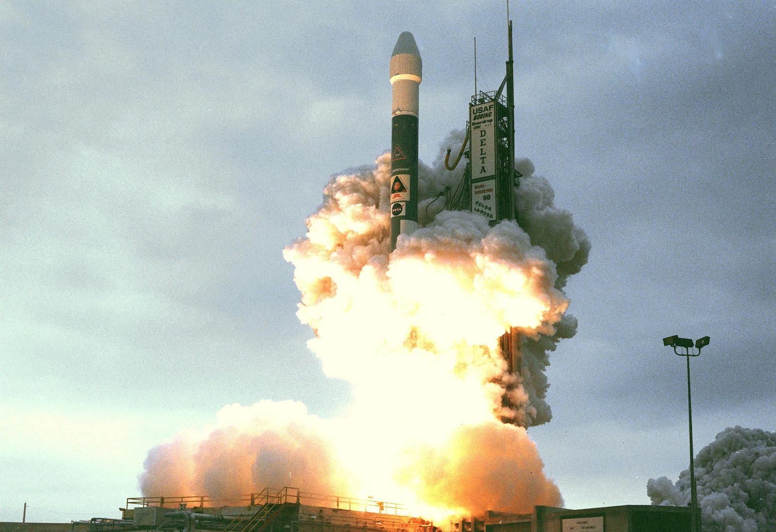
KENNEDY SPACE CENTER, FLA.
Mars Polar LanderA bright dot was not the parachute.
NASA/KSC
03Later re-examination of an orbital image raised hope that a bright feature might be the parachute. A new image showed the feature had changed, consistent with seasonal frost rather than a spacecraft part. HiRISE searches continued, but the lander has not been positively found.
The search itself became a lesson.
04The missing spacecraft showed why future landers needed live descent telemetry and better end-to-end testing. Even a well-built spacecraft can become a mystery if its highest-risk minutes are silent.

The big idea

Orbital search resolution and seasonal surface change determine whether small hardware can be found after a silent landing.

Think about it

Why is finding a lander from orbit harder than finding a rover?

Fact file

Search imaging
MGS December 1999 – January 2000
NASA mission page lists the first MGS search on December 16, 1999.
Source ↗
Termination
17 January 2000
NASA terminated all attempts to establish contact on this date.
Source ↗
Landing-zone scale
Terrain like buildings at JPL
PIA02347 compares landing-zone terrain with JPL buildings at the same scale.
Source ↗

In this chapter: Deep Space Network, Mars Global Surveyor camera and later MRO HiRISE

Sources: Main record · PIA02348 · NASA Image Library · PIA02353 · NASA Image Library · PIA02347 · NASA Image Library

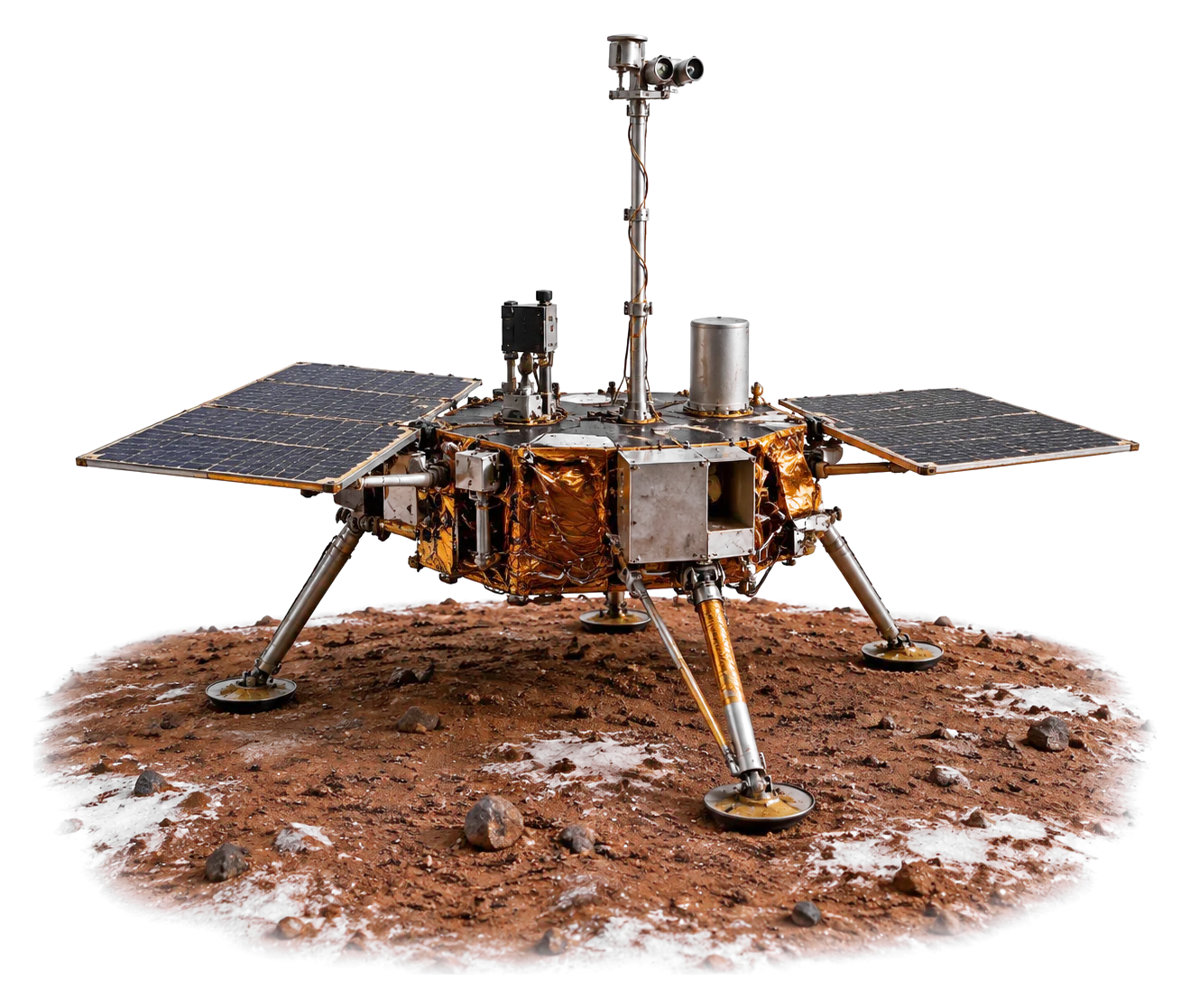
Machine illustration: AI-made. Photos: NASA Image and Video Library, credited on each picture.

Chapter 4 of 5

Next