Chapter 3 of 5

The view from the hill

Water-altered rocks, wind and the climb to Husband Hill

Told in Spirit’s imagined voice · the events are real · source
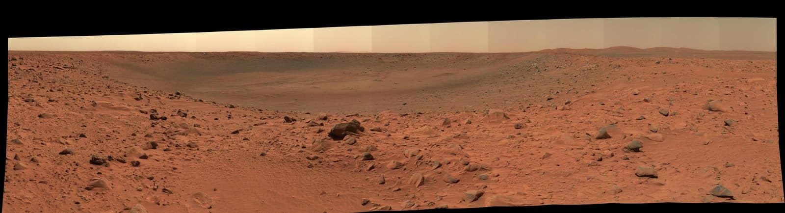
The rim and interior of a crater nicknamed "Bonneville" dominate this 180-degree, false-color mosaic of images taken by the panoramic camera of NASA's Mars Exploration Rover Spirit.
SpiritIn the hills, a mineral carried a clue about water.
NASA/JPL/Cornell
01My Mössbauer spectrometer identified goethite in a rock called Clovis. Hydroxyl is part of that mineral’s structure. Along with other altered rocks, it gave scientists strong evidence that water had affected this region.
Wind could make a difference to a solar-powered explorer.
02Dust blocked some sunlight from my panels, while wind-cleaning events improved the power available. My cameras also recorded dust devils crossing Gusev. Those distant movies show moving dust—not a close-up of a whirlwind cleaning my deck.
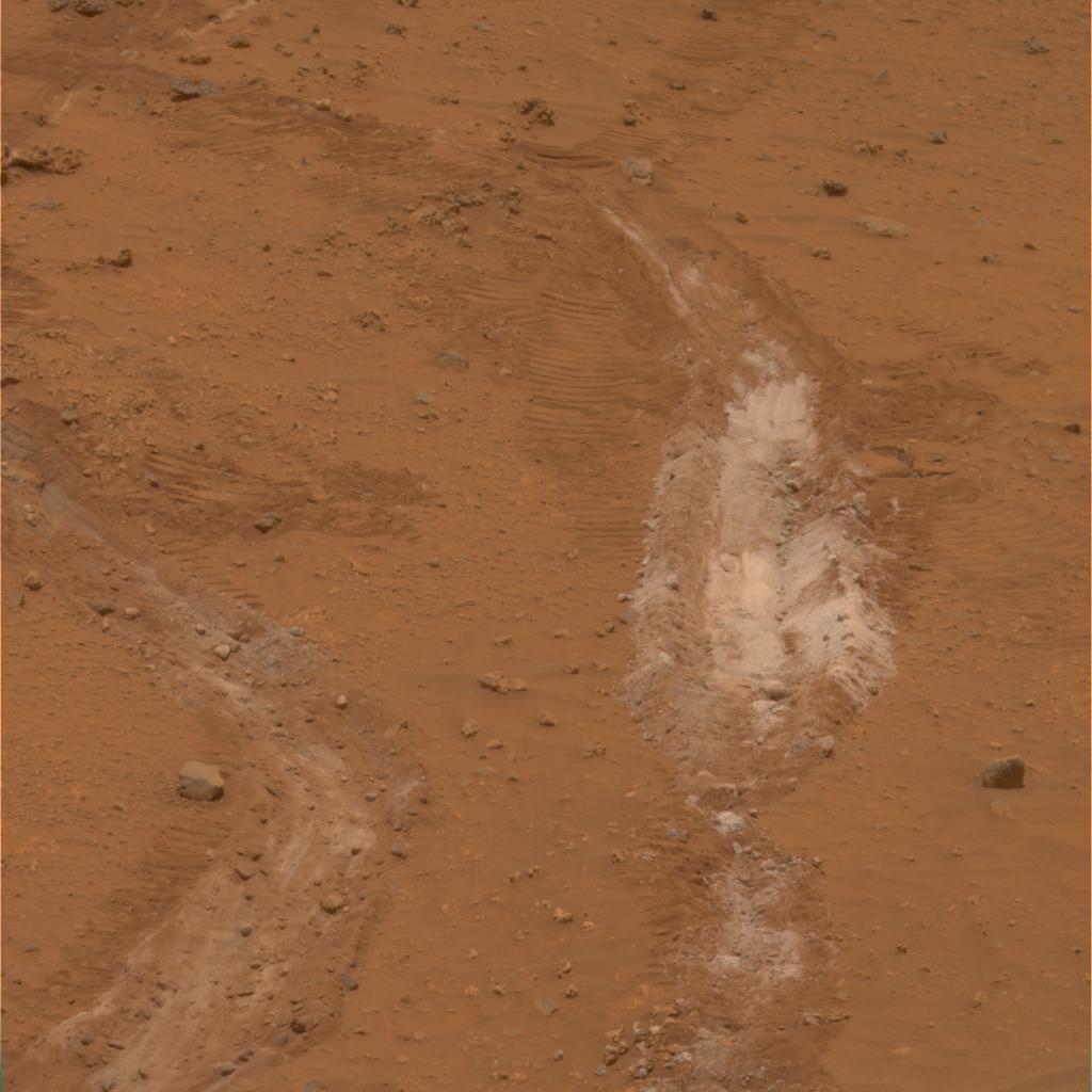
Silica-Rich Soil Found by Spirit
SpiritBy August 2005, I was looking out from Husband Hill.
NASA/JPL/Cornell
03The summit stood 82 meters above the nearby plains, and 106 meters above my landing site. NASA describes me as the first robot to summit a hill on another planet. My camera views let everyone back on Earth share the climb.
The view was useful for more than a postcard.
04Climbing exposed different rock types and helped scientists read how layers were tilted. From above, the team could investigate routes into the basin below and toward the feature called Home Plate. A good view helped plan the next scientific question.

The big idea

A rover’s wheels give instruments access to different rocks. Height and perspective help geologists understand the sequence of a landscape’s history.

Think about it

Why can two different heights describe the same summit correctly?

Fact file

Clovis mineral
Goethite
The published Mössbauer spectrum identifies a hydroxyl-bearing mineral: evidence of water activity, not organisms.
Source ↗
Summit height
82 m above nearby plains / 106 m above landing site
Different reference levels explain the two heights in the September 1, 2005 report.
Source ↗
Summit mini-panorama
PIA04183 / August 2005
Caption dates the image to August 23, Sol 582. This is a roughly 90-degree view, not a full-circle image.
Source ↗

In this chapter: Mössbauer spectrometer, solar arrays, wheels, Navcam and Pancam

Sources: Main record · Water-Signature Mineral Found by Spirit · PIA07104 · Postcard Above Tennessee Valley · PIA04183 · Gusev Dust Devil, Sol 543 · PIA04155 · Spirit · NASA Science · Mars Exploration Rover Spirit End of Mission Report · JPL D-92756

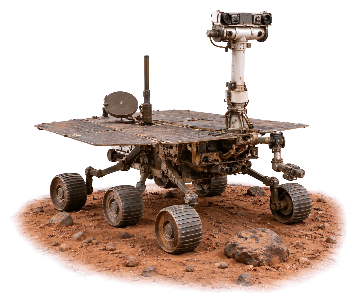
Machine illustration: AI-made. Photos: NASA Image and Video Library, credited on each picture.

Chapter 3 of 5

Next